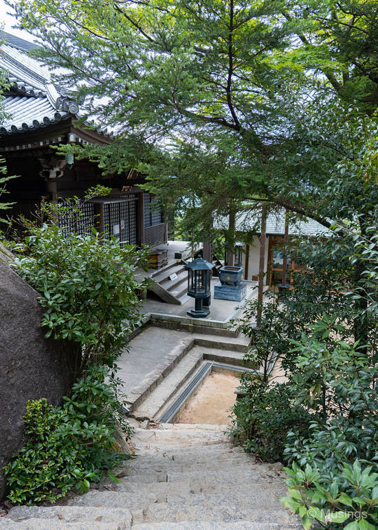
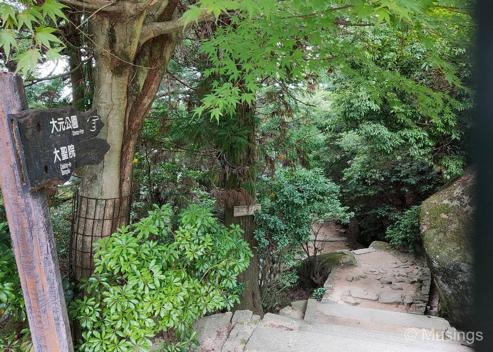
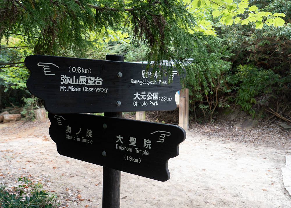
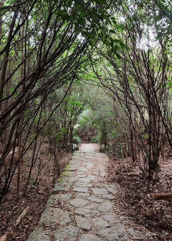
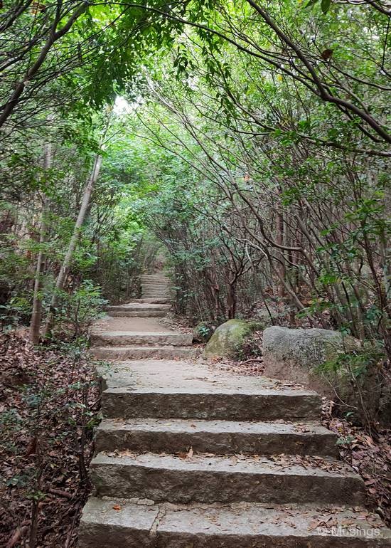
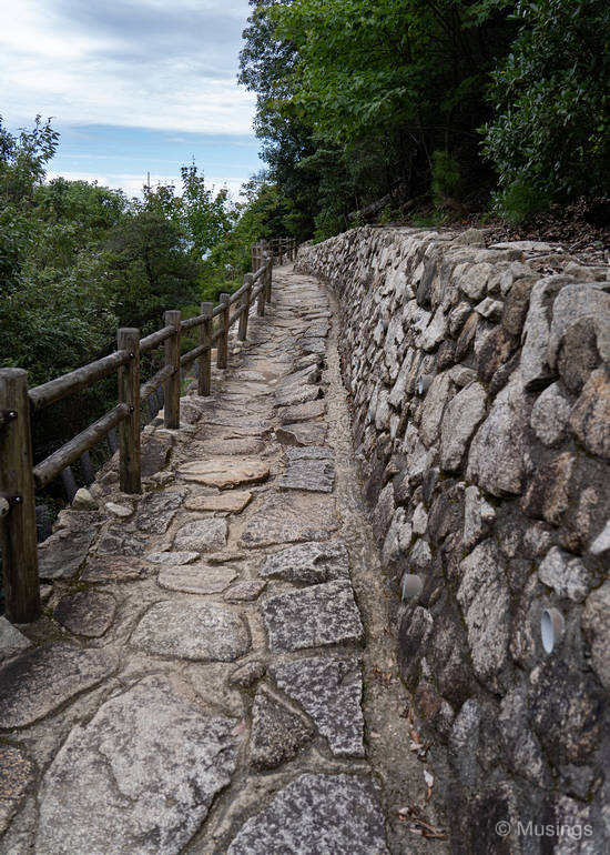
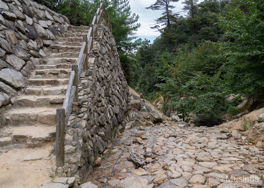
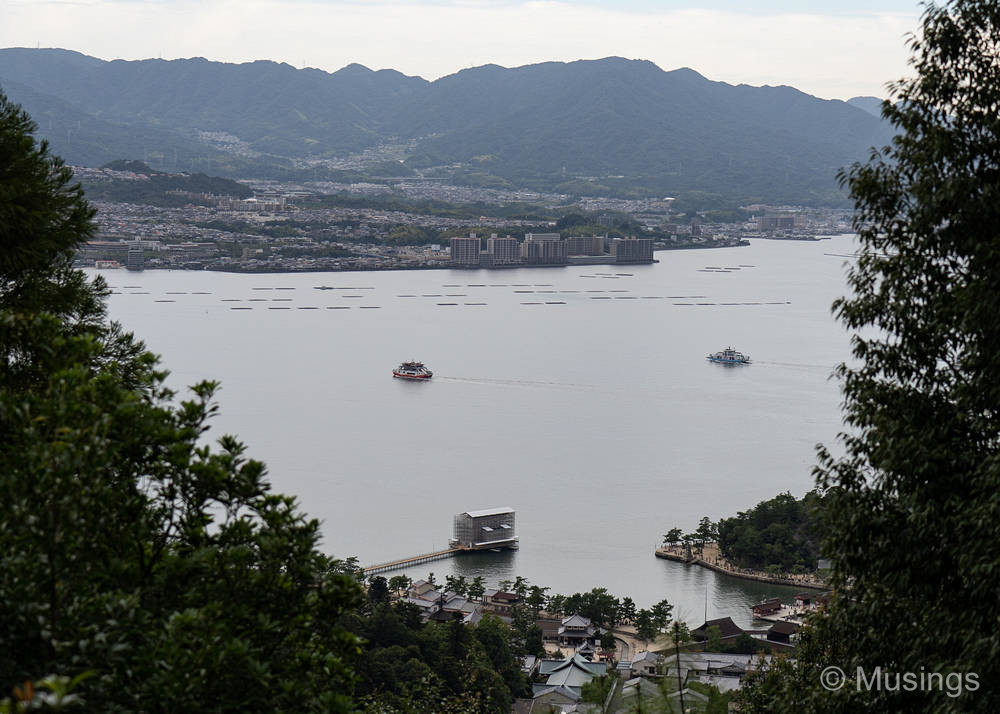
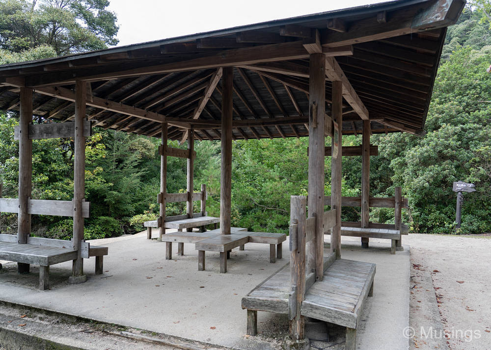
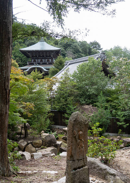
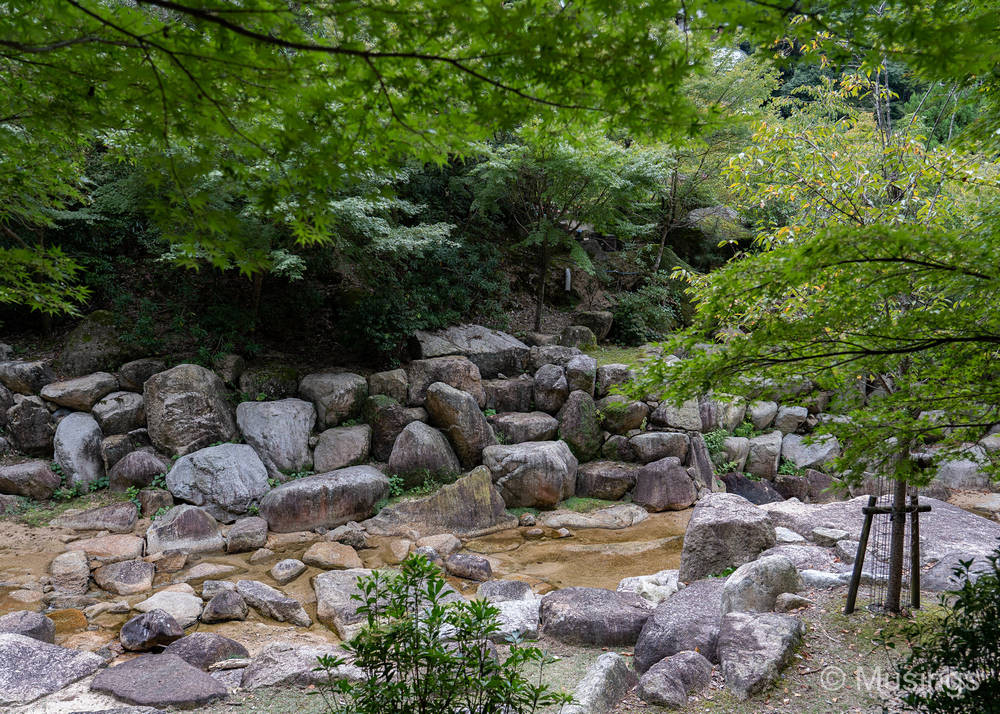
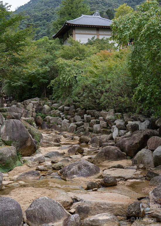
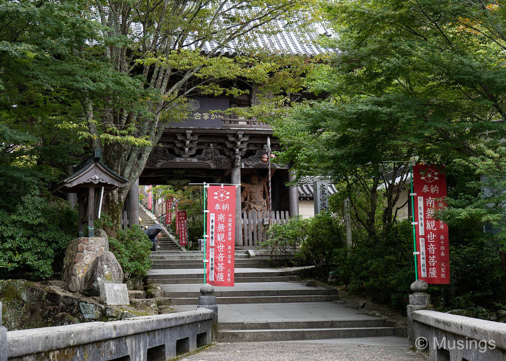
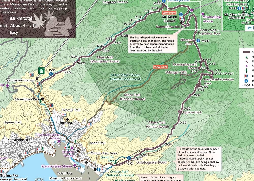
This is my first experience in mountain trekking, with an easy mountain to boot. And I’m only descending! There are three trails that go up and down Mt. Misen, each with different lengths and things to see along the way. They are the Momijidani Route (2.5km), the Daishoin Route (3km), and the Omoto Route (3.2km). I opted for the Daishoin Trail on account that it was reportedly the prettiest. According to one site, it’s also somewhat the safest, with clear markings, and that the route is largely stone steps. The trail from 0 meters to the summit takes between 90 minutes to 2 hours. Other visitors have commented that the descent version takes half that time — which sounds about right. I started at 11:27AM at Reikado Hall, and reached the end-point — Daishoin Temple — at 12:33PM.
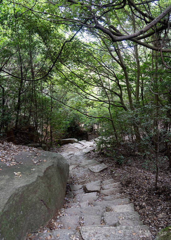
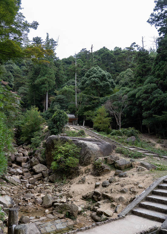
With the benefit of hindsight though, I probably should have chosen the Momijidani Route on account that the stone steps in the Daishoin trail caused severe stress on my knees, so much so that two days after the descent — I’m writing this on Day 8 night time now — my legs are aching so badly I have difficulty walking down stairs, or walking in general for that matter. The Momijidani route reportedly is a sloping road which should have been easier on the knees.
Summary: go for it! Set aside at least an hour, and if you’re not confident of your fitness levels, do the down-mountain version.
My exploration of Itsukushima continues in the next post!
Recent comments