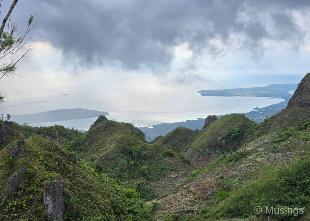
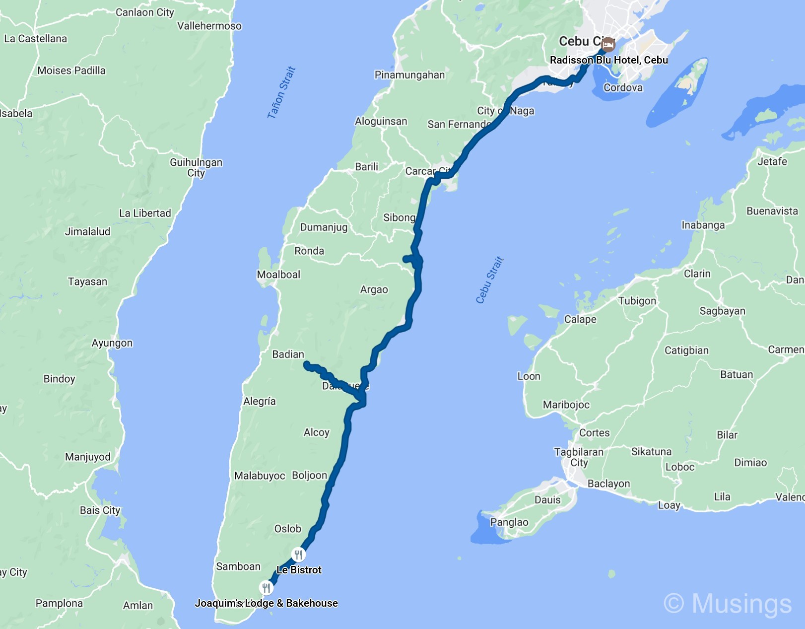
The 90-minute drive from Simala Shrine to Osmeña Peak was a lot smoother, with fairly low traffic plying the road as we continued south. Osmeña Peak is the tallest point on Cebu Island and sits inside a region of impressive-looking hilly peaks. The drive through the village of Dalaguete is fairly winding and along narrow two-lane roads, but our driver expertly navigated the area as we gradually ascended to the start point of the hike. It was mid-afternoon — about 3:45PM — by the time we arrived, and there were several other groups of visitors either making their way up or coming down. The sunny weather we saw at Simala Shrine was gone by the time we arrived, replaced instead with cloudy skies.
Our driver first checked with the tourist information booth to see if it was OK for me to fly a drone around the peak, and the staff manning the counter assured us it was alright. Our party of four had to register ourselves, after which we were assigned a guide who would accompany us on the roughly 25–30 minute hike up to the peak.
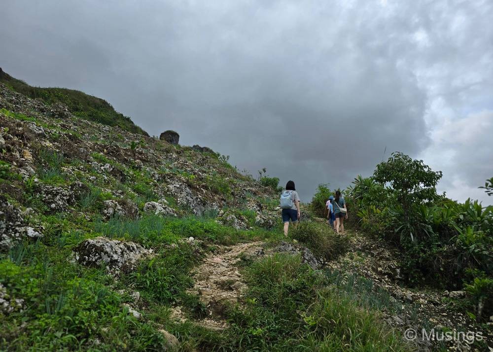
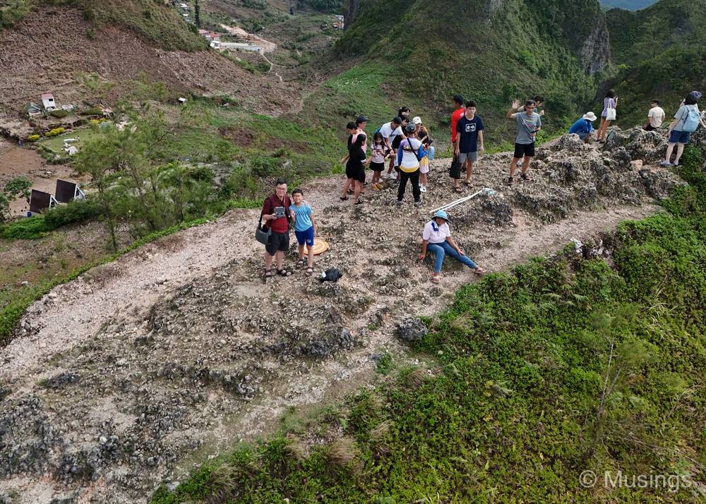
So, the most important bit: the hike is doable for most people — we even saw kids as young as four or five making the climb. But I don’t think the elderly would want to try this, on account that there are no steps to help you ascend. There’s a fairly well-marked path, but it’s essentially a dirt trail with numerous jagged rocks that provide good traction for your footwear, and some sections are a little steep.
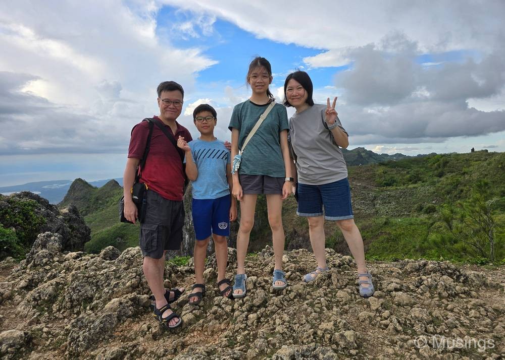
The peak itself is a fairly small area that can probably hold a dozen people or so. Any more than that and it gets really congested and possibly even a little dangerous.
The DJI Mini 4 Pro also came out for its first Philippines video foray. I captured about 15 minutes of footage, roughly half of which turned out to be usable clips that I curated into a two-minute highlights reel.
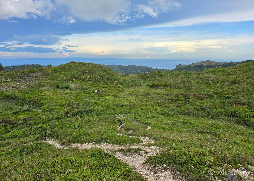
Pictures!

And a quick compilation of the drone videos I took at Osmena Peak:
Continued onto Day 02 tomorrow!