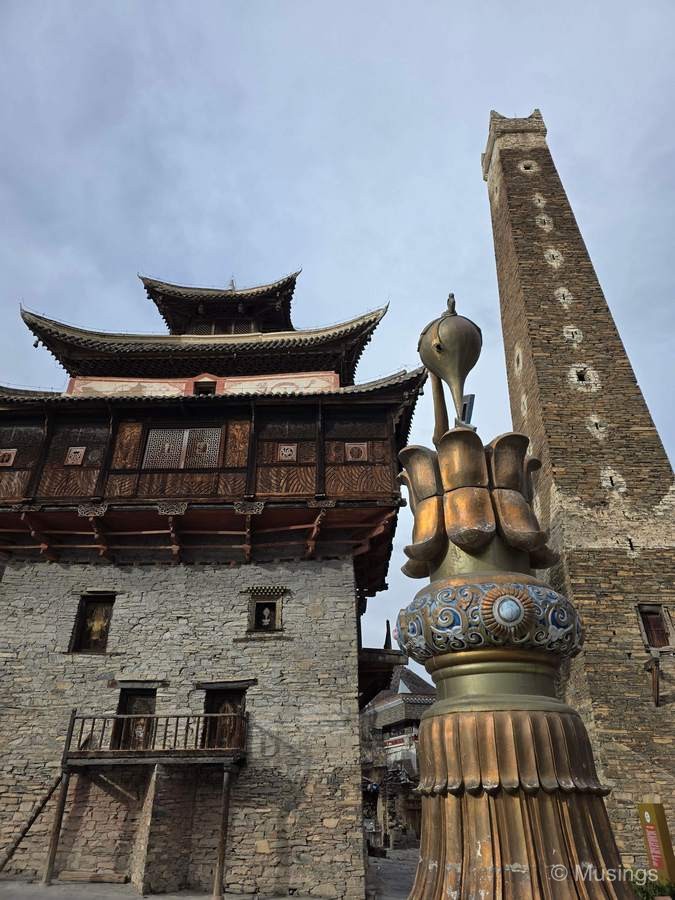
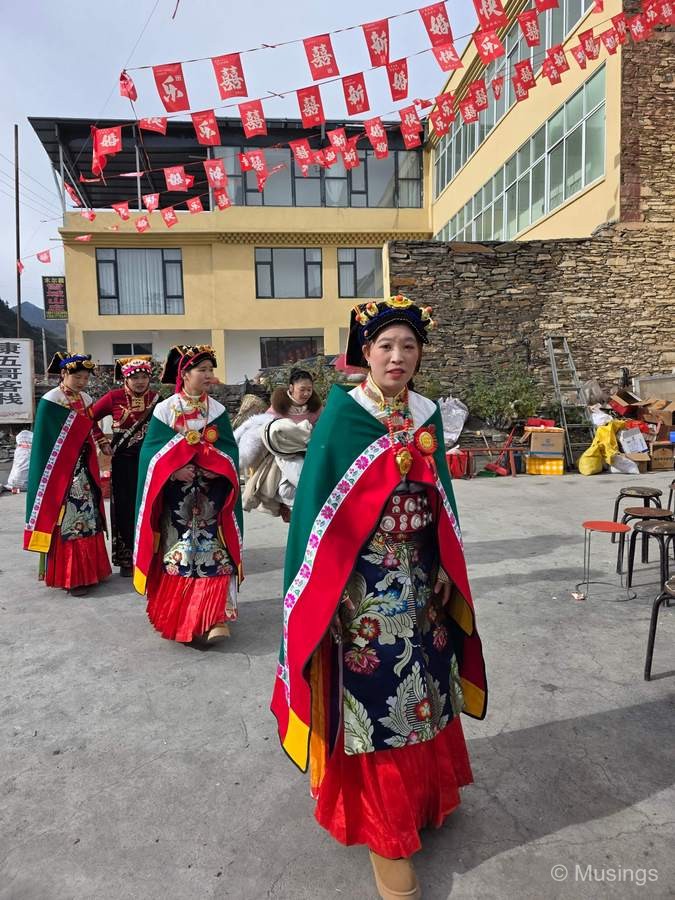
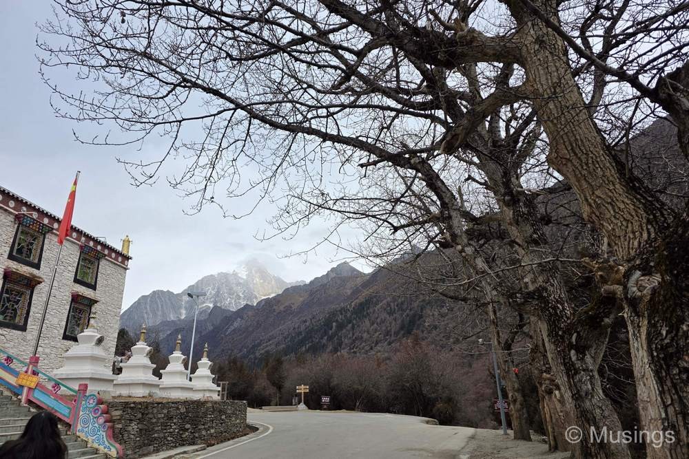
We’re finally coming to an end of the Western Sichuan segment of our trip. We said goodbye to Danba River Valley early morning and drove in an easterly direction the 112km to the Mt. Siguniang Scenic Area where we’d be spending Day 13 and also part of Day 14 tomorrow. The drive downhill from the Danba valley hilltops where our homestay was located was not particularly thrilling though with a very large number of sharp turns. Fortunately, we reached the ground level 15 minutes after we drove off: any longer and there was a good chance one of us would have felt nauseous! The rest of the drive was pleasant, and on the way to Mt. Siguniang, there was a local marriage procession on the road and we snapped some quick pictures, and also at a small village with an old castle and watchtower.
We arrived at Mt. Siguniang area just after noon. The wife and family are thoroughly through with local cuisine, so when we saw the KFC joint almost directly opposite the entrance to the Scenic Area, we jumped right at it for lunch. As it turned out, we weren’t the only visitors with that idea: a small tour group of what looked like international tourists – including Hong Kongers and Singaporeans – similarly stopped by and did the same.
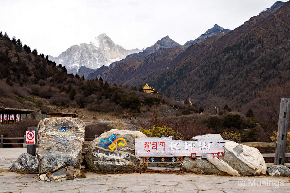
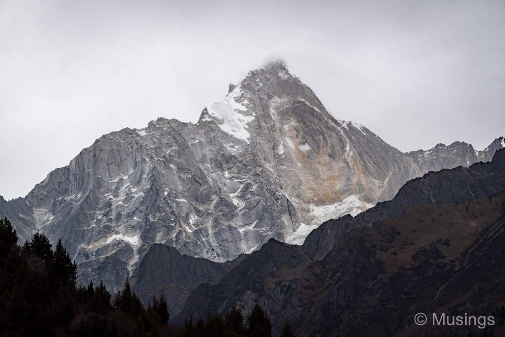
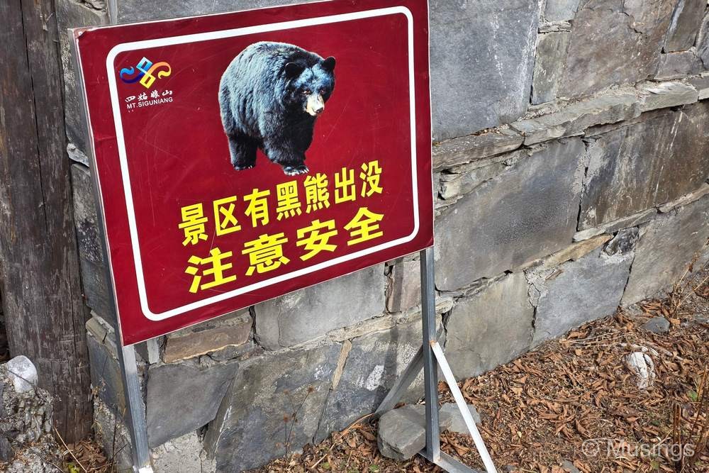
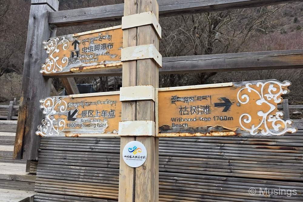
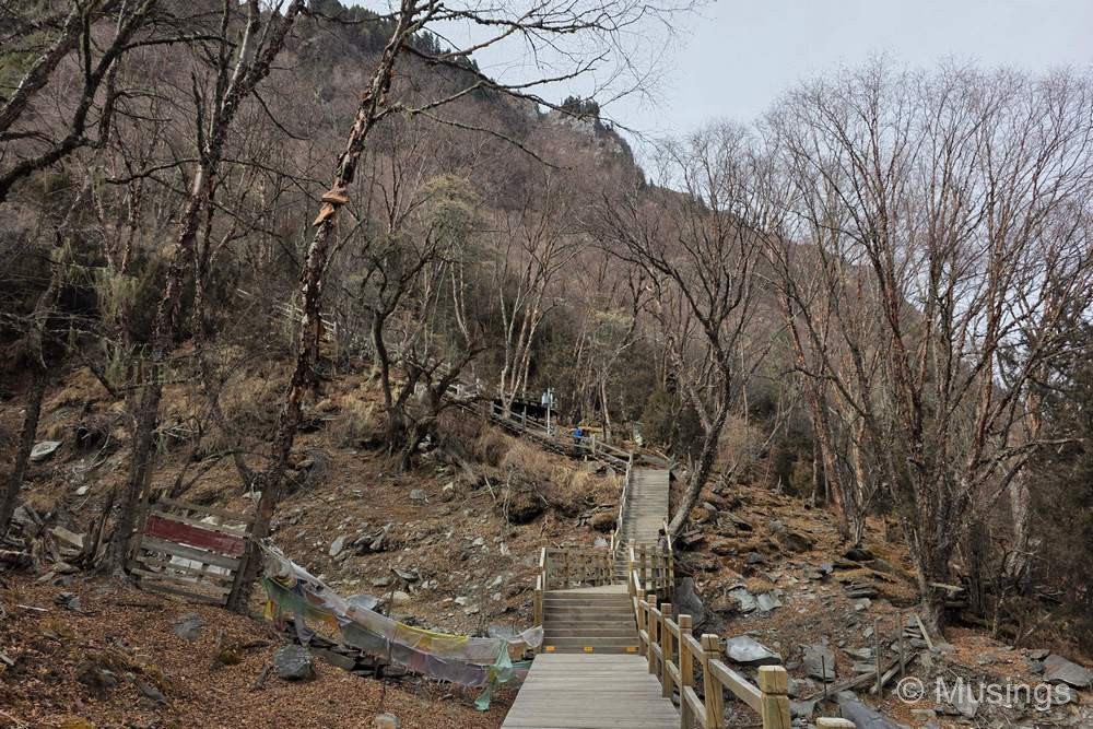
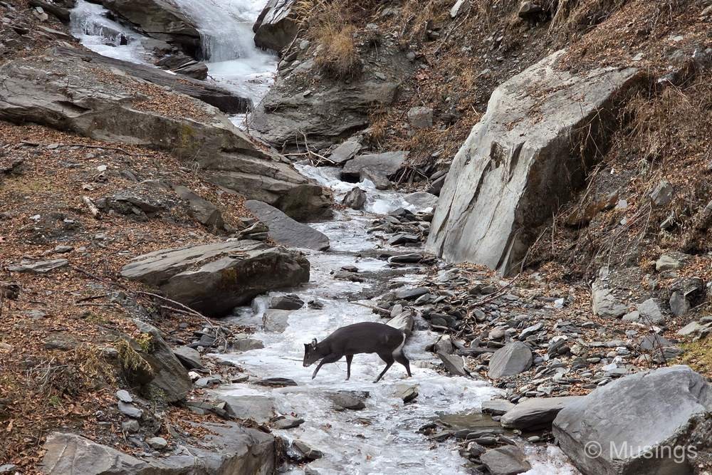
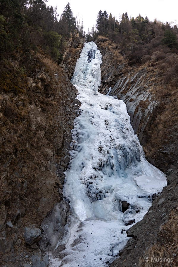
Our itinerary for today was to visit Changping Valley, situated inside the Mt. Siguniang Scenic Area. Like the Yading Nature Reserve, there is a shuttle bus that will bring visitors from the entrance of the area and drop them off further-in, and specifically, a 5 minute walk at a slight incline to Lama Temple, the start point for our trek. The valley extends 29km and covers an area of 100 square kilometers, and the most we could manage over 4 hours was to trek to the first waterfall – Chongchongjiao Waterfall (Chinese translation: “Bug Feet”?!). This waterfall is actually just maybe 1.6km trek from Lama Temple but at 3,400m altitude, and a final 700m stretch that involved a lot (like seriously, a lot) of steps, it took us already 2.5 hrs to get to the waterfall. All of us made it to the waterfall, excepting the daughter who opted not to try the final climb.
The aerial video here starts with a vertical look at this waterfall, then pulls back for a look at the valley, the snow-capped peaks of Mt. Siguniang, and finally tracing the partially frozen river below and also the boardwalk that follows it. At the last seconds is a passing shot of the waterfall viewing platform – the terminal point for us before we headed back. The sun was ducked well-behind cloud cover today, so the general scenery in the early to mid PM was a little gloomy.
By the time we reached back to the Scenic Area’s entrance, it was 4:30PM, and we were too tired to do anything else. So, it was a quick check-in into our hotel literally just 1 minute drive from the entrance, then back to KFC for dinner and more comfort food. LOL.
Continued in the next post!