If there’s one recommendation I’ve got for persons who’d like to visit Niagara Falls from Boston, it’s this – unless you’re up to busing 705+ kilometres – and that’s about 9 hours without traffic and if your driver zooms at about 100 km/h on the Interstate – your best bet is to just fly into Buffalo International Airport, then taking a bus or coach from Buffalo City to the falls.
I was considering two options for visiting Niagara Falls; make my own way by flying in using the above mentioned route, or take the convenient route of a tour agency arranged bus trip. The flight would have required more planning and about 1.5 times the cost, the tour package would had let me travel on the famous Interstate I-90, something I’ve always wanted to try out just for the experience.
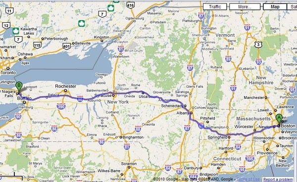
Truth to tell, the bus journey wasn’t so bad, though the tour group was pretty packed with Asians, Middle-Easterners, Indians, East Europeans, and I suspect a couple of Russians. The group on balance was pretty well-behaved, though towards the end of the return trip when we’d been on the road for 8.5 hours and just about 5 km from Boston, a couple of them started singing “Memories”. I would have gladly got out of the bus and walked the remaining distance back. That said, I’m just happy though that there were no China aunties yakking in Mandarin all the way throughout. Small mercies!
The trip had a major detour: to visit the Thousand Island region from Alexandria Bay (you can see it near the map’s top edge), which added about 5 hours to the outbound journey to the Falls. I’ll blog about this in another post later.
As described in the earlier post, there are two falls in the area: the American and Bridal Veil Falls (marked ‘A’ on the satellite map below) and the Horseshoe Falls (marked ‘B’). There are also two sides to view the Falls, and there are pros and cons to both. The Canadians enjoy a spectacular view, since their side of the river is directly facing both waterfalls. Their side of the river is heavily built up – you can see it from the pictures – with casinos, parks, restaurants, and swanky hotels. However, they’re also – literally – across the river and have to see the falls from across it!
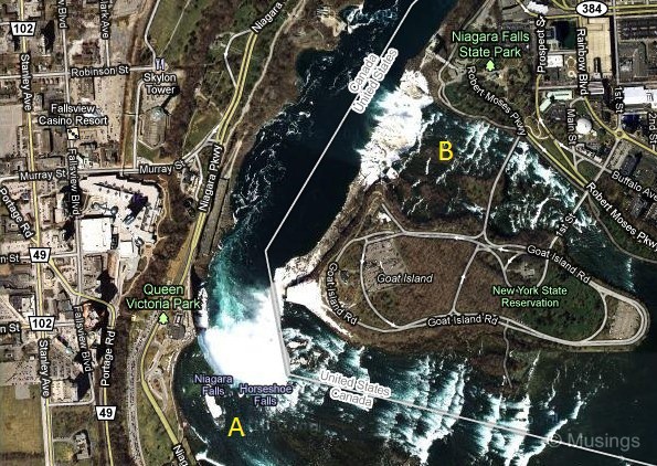
The American side doesn’t quite get the same view perspective (the Observation Tower alleviates it somewhat though), but you get a lot closer to the Falls, in some spots just meters away through walkways, and close enough to get millions of gallons of water crashing on your head.:)
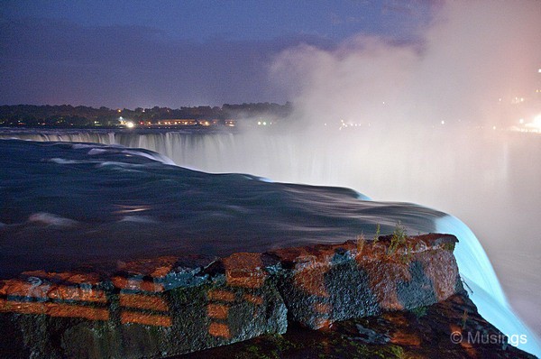
We got to the Falls proper on Saturday night at about 10 PM, after having left Boston 15 hours earlier. The first stop was Terrapin Point to see the Horseshoe Falls, all spectacularly lit up by the Canadian side. These four pictures were taken of the Horseshoe Falls with very slow exposure times, handheld.:)
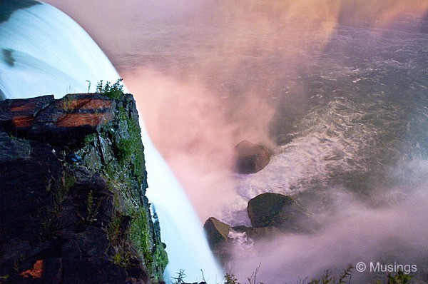
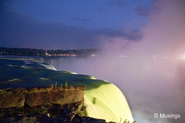
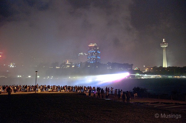
That’s us on the American side, with the Top of the Falls Restaurant to my rear. The powerful strobe lights change shade and color every once in a while, and it makes for spectacular photography.
Next post is on pictures taken on the following morning (Sunday).:)
Recent comments